 Axis Agents
Service · Desktop GIS to cloud
axis-migrate: your desktop GIS work on the cloud, with the same answers as before
We move ArcGIS and QGIS workflows off one analyst’s desktop and onto the cloud you already use, as Python your team owns. Every output is compared with the original and shown on a map.
Who it is for
A lot of GIS work still runs on one analyst’s machine: an ArcPy script, a QGIS model, a notebook. It works until someone has to run it for a new area, on a schedule, or after that analyst leaves. Desktop licences are paid per seat, and there is no run log or version history.
If the rest of your organisation already keeps its data on Databricks, Snowflake or a cloud provider, we rebuild the workflow there. You don’t buy more software.
How it works
We run the move with your team in six stages. Agents do the reading and the writing. Your analyst answers what the files cannot, and a script compares every output with the original.
- 1
Discover
Agents scan the project folder and draw the workflow.
- 2
Refine
Your analyst answers what the files cannot, confirms each assumption the agents made, and approves the workflow once.
- 3
Platform
You pick the cloud: Databricks, AWS, Google Cloud or Snowflake.
- 4
Generate
Agents write the code for that cloud.
- 5
Deploy
They deploy it and run it until it works.
- 6
Verify
They compare every output with the old one. We stay until your team runs it day to day.
What you get
- The workflow as a graph, with its steps, dependencies and decisions written down for your expert to correct.
- Python code for the cloud you chose, which your team owns and can inspect.
- A report comparing every output with the original, with any difference that is still open written down.
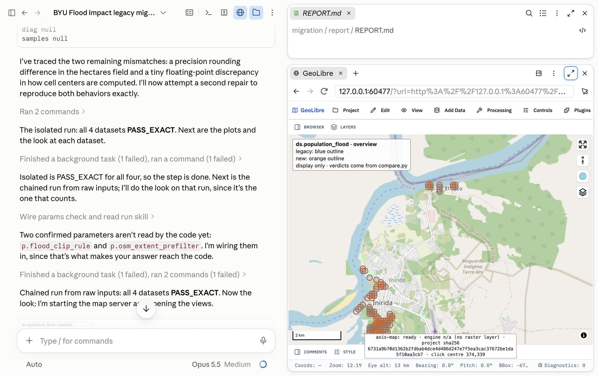
- A map of each output, the legacy result in blue and the new one in orange.
- A workflow that runs on a schedule, for any area, with every run logged, that anyone on the team can run.
Same answers on a real project
On a public BYU teaching project, flood impact in Inírida, Colombia, built as a QGIS model, 4 of 4 outputs matched the QGIS originals exactly in each of four runs. The comparison also found that QGIS rounds population where the project’s own Python script truncates: 8,267 people against 8,222 from the same cells.
Or run it yourself
The same method is free and open source under Apache-2.0, as a plugin for Claude Code and Codex. Your files stay on your machine. It writes a Python pipeline, the comparison report and a Databricks bundle checked with a dry run.
Case studies
Desktop GIS to cloud · Hosted service and open source
axis-migrate
Desktop GIS work rebuilt on your cloud. 4 of 4 outputs matched the QGIS originals exactly.
Desktop GIS to cloud · First version
Migration Engine
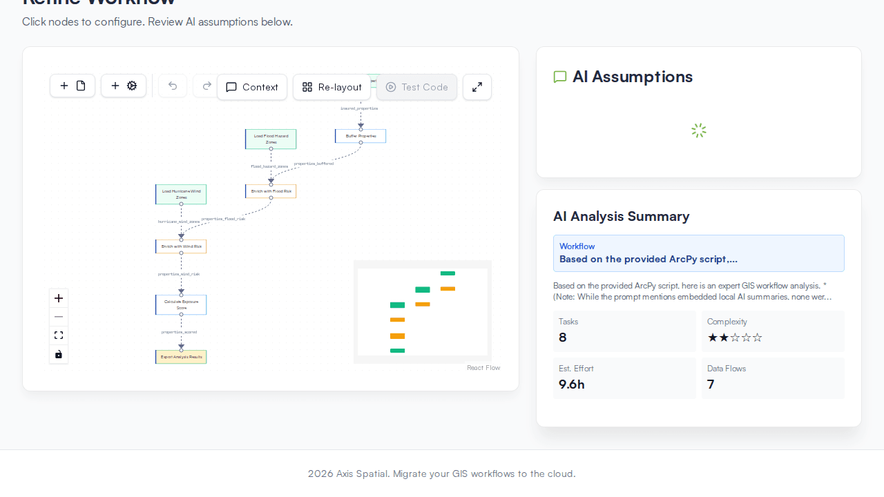
The first version of axis-migrate: six stages from a legacy workflow to a compared, accepted result.
Tell us which workflow you want to move
Name the project, the tool it runs in today and the cloud you use. A short note is enough.